
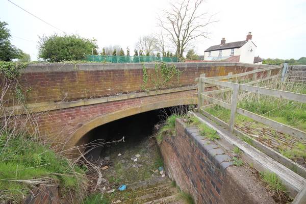
A461 Moat Bank Bridge
Sister Bridge to St Johns London Road Bridge for half its width which was also rebuilt in 1930's. This bridge was exposed by County Highways as part of their bridge inspections and was found to be intact.
| Access: | |
| Alignment: | On canal line |
| Huddlesford: | 5.00 Miles (8.10 Kms.) |
| Catshill: | 3.60 Miles (5.80 Kms.) |
52.66056, -1.87614
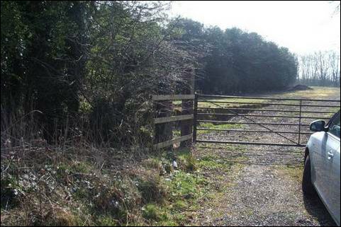
Lock 12
This lock is partly exposed and visible above ground to the west and beside Coppice Lane.
See Captain Ahab's Watery Tales on this section.
| Access: | Can be seen from trail but no access |
| Alignment: | On canal line |
| Huddlesford: | - |
| Catshill: | - |
52.66207, -1.87699
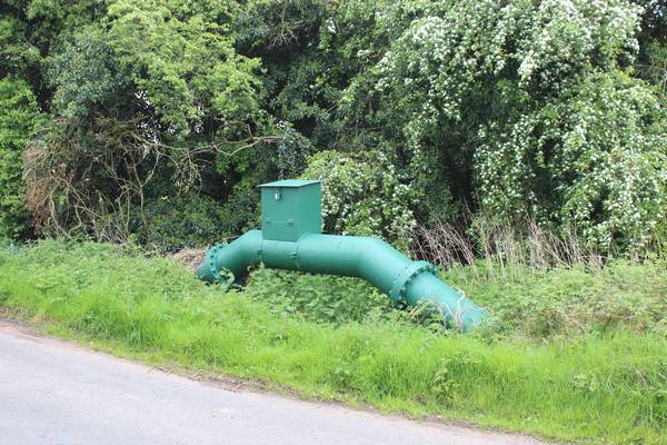
Coppice Lane Bridge
A new bridge will be required at this location to replace the original bridge removed shortly after abandonment. A cranked water pipe to the side of the road indicates the profile of the original canal.
| Access: | |
| Alignment: | On canal line |
| Huddlesford: | 4.90 Miles (7.90 Kms.) |
| Catshill: | 3.70 Miles (6.00 Kms.) |
52.66217, -1.87692
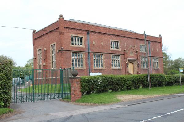
Pipehill Pumping Station
The privately owned canal channel and towpath remain as abandoned to the North of the Puming Station.
| Access: | Private property - no access |
| Alignment: | South of canal |
| Huddlesford: | - |
| Catshill: | - |
52.6647, -1.8728
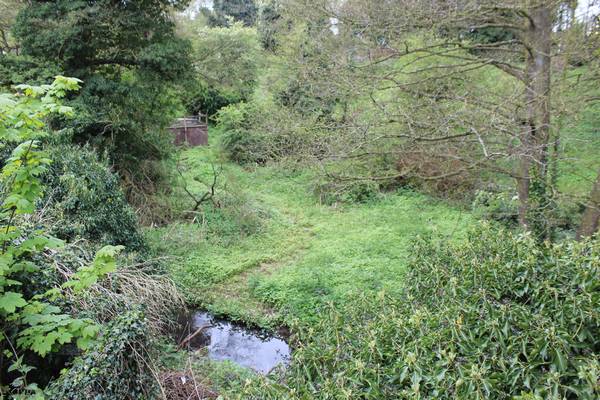
Pipehill Wharf
Coal for the adjacent Pipehill Pumping Station Steam Engines would have been delivered to this canalside wharf.
See Captain Ahab's Watery Tales on this section.
| Access: | Private property - no access |
| Alignment: | On canal line |
| Huddlesford: | - |
| Catshill: | - |
52.66694, -1.8697
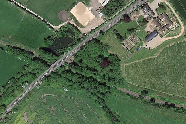
Old Canal Loop
Redundant Loop of Old canal cut off when railway was constructed and new bridges formed in 1846 ? This area is all in private ownership
| Access: | Can be seen from trail but no access |
| Alignment: | North of canal |
| Huddlesford: | - |
| Catshill: | - |
52.66737, -1.86796
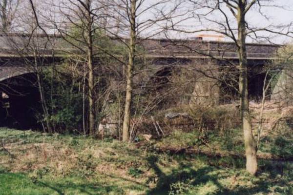
Pipehill Bridge showing the three spans - canal, farm track and railway.
The three span bridge over the canal and the adjacent railway was originally constructed in 1846 and replaced the original canal road bridge.
| Access: | |
| Alignment: | On canal line |
| Huddlesford: | 4.40 Miles (7.10 Kms.) |
| Catshill: | 4.20 Miles (6.80 Kms.) |
52.6674, -1.86871
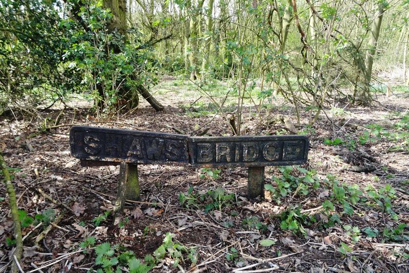
Sign showing the name Shaws Bridge in March 2020. Photo: Paul Jewitt
Site of old bridge known as Smith’s Bridge or Shaw’s Bridge.
The canal will take a new route here to avoid severing existing farmland.
| Access: | Private property - no access |
| Alignment: | |
| Huddlesford: | - |
| Catshill: | - |
52.66519, -1.86455
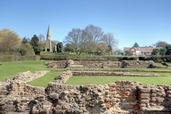
Roman Settlement at Wall
To the south of the Canal approx 1k along Wall Lane is the Roman Settlement of Letocetum where a museum and site is open to the public.
| Access: | |
| Alignment: | South of canal |
| Huddlesford: | - |
| Catshill: | - |
52.66658, -1.85898
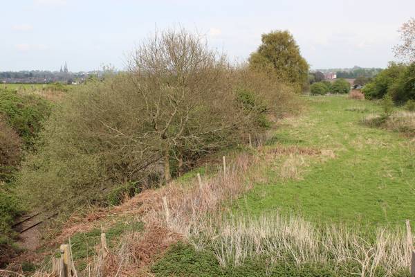
Wall Lane Bridge
The canal passes under Wall Lane and the remains of the existing road bridge need to exposed and restored.
| Access: | |
| Alignment: | On canal line |
| Huddlesford: | 4.00 Miles (6.40 Kms.) |
| Catshill: | 4.70 Miles (7.50 Kms.) |
52.66658, -1.85898
