
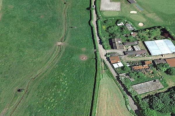
New Lock 29 approximate position
New Lock 29. Exact position to be decided.
| Access: | Private Property |
| Alignment: | |
| Huddlesford: | - |
| Catshill: | - |
52.67408, -1.79792
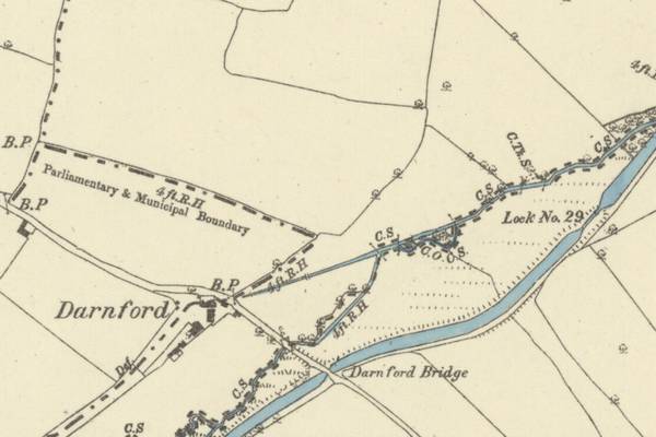
Darnford area on O.S. Map from 1883.
Historic Water mill on Darnford Brook to the north of the canal.
| Access: | Private property - no access |
| Alignment: | North of canal |
| Huddlesford: | - |
| Catshill: | - |
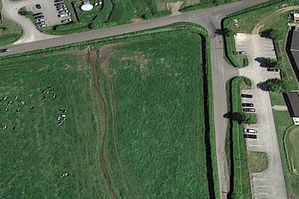
Paper Mill Wharf (site of)
Transhipment of materials from the adjacent mill to canal boats.
| Access: | Private property - no access |
| Alignment: | On canal line |
| Huddlesford: | - |
| Catshill: | - |
52.67502, -1.79622
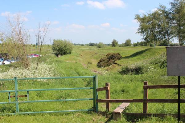
Darnford lane - location of new crossing. Vew along the canal bed to the north-east..
A new bridge will be required at this location to replace the original bridge removed shortly after abandonment.
Lichfield golf club is on the left, the canal passes through the golf course.
| Access: | from public road |
| Alignment: | On canal line |
| Huddlesford: | 0.99 Miles (1.60 Kms.) |
| Catshill: | 7.60 Miles (12.00 Kms.) |
52.67524, -1.79565
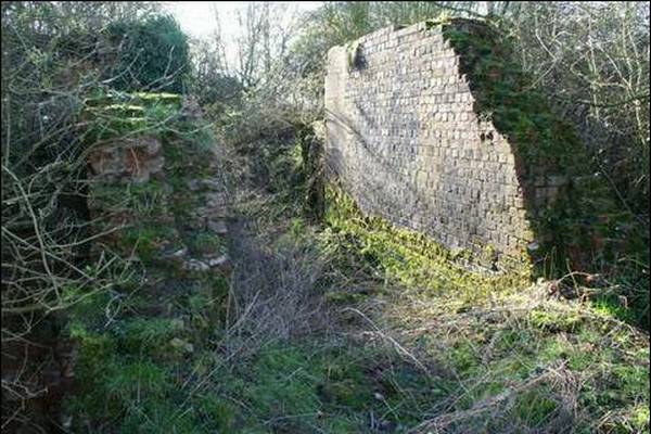
Old Lock29 (Disused)
The old Lock 29 has been abandoned and now forms a nature reserve. The old canal line from Lock 29 to Darnford Lane remains buried below a new golf course.
A new lower canal channel has been formed to pass below the existing road without a hump back bridge . This new canal route forms an essential part of the lowland heath links across the district.
| Access: | Nature reserve - do not disturb |
| Alignment: | North of canal |
| Huddlesford: | - |
| Catshill: | - |
52.67669, -1.79116
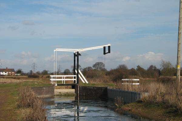
Darnford Lift Bridge
New Lift Bridge was installed in 1997 by the Trust and allows the towpath to cross over from the south side of the canal to the north side.
This is the location of a historic iron culvert installed to take the Darnford Brook beneath the canal at this point. The iron culvert sections were removed and taken to th BW Museum in Gloucester.
| Access: | Towpath public |
| Alignment: | On canal line |
| Huddlesford: | - |
| Catshill: | 7.97 Miles (12.84 Kms.) |
52.67771, -1.78977
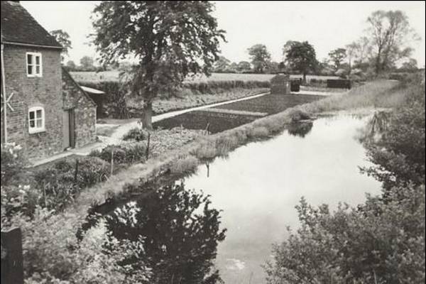
The Lichfield Canal near to Darnford Lane in 1958 showing a typical canalside cottage. For illustration only - this may not be BCN 264.
The first of these cottages by Lock No1 was built in 1810. These properties were given BCN numbers when the BCN aquired the W&E Canal Company in 1840 and upgraded the full length of the canal.
| Access: | |
| Alignment: | On canal line |
| Huddlesford: | - |
| Catshill: | - |
52.67876, -1.78684
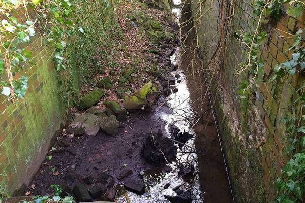
Lock 30
Original unrestored first lock on the canal lifting boats from the Coventry Canal on the first of 30 locks to Ogley
| Access: | |
| Alignment: | On canal line |
| Huddlesford: | 0.55 Miles (0.89 Kms.) |
| Catshill: | 8.10 Miles (13.00 Kms.) |
52.67898, -1.78664
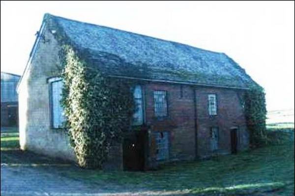
Condition prior to building work in 2003. The water mill at Mill Farm is the only original building and dates back 150+ years.
Historic Mill known as Bunnings, Bullins or Cappers Mill. Research by Bob Houghton suggests there was a Mill on the site in 1705 and may be mentioned in the Doomsday Book.
Bob’s document on Whittington Trades History lists millers from 1753 when Thomas Capper was the first miller, up to 1921.
Now converted to a private residence.
| Access: | Private property - no access |
| Alignment: | South of canal |
| Huddlesford: | 0.50 Miles (0.80 Kms.) |
| Catshill: | 8.10 Miles (13.00 Kms.) |
52.67852, -1.78251
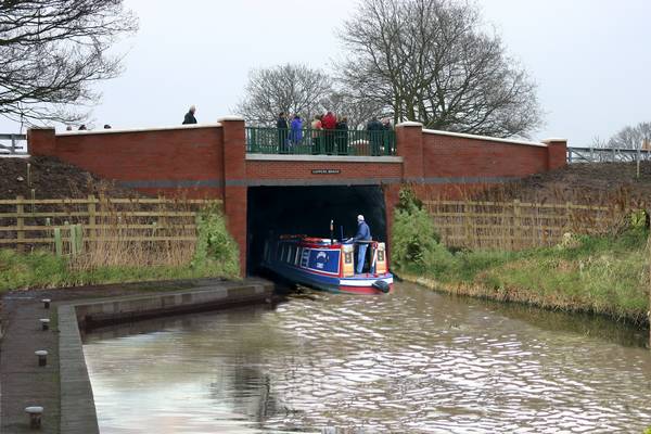
Artist's impression of the bridge when rewatered by Paul Marshall.
Bridge 2 - Cappers Lane Bridge.
This modern canal overbridge was constructed by the LHCRT in 2005/6 Using ERDF funding and replaces the original bridge which was removed following the canal closure in the 1950's.
It will most likely be demolished for the construction of HS2.
| Access: | Public road over |
| Alignment: | On canal line |
| Huddlesford: | 0.35 Miles (0.56 Kms.) |
| Catshill: | 8.30 Miles (13.00 Kms.) |
52.6798, -1.78291
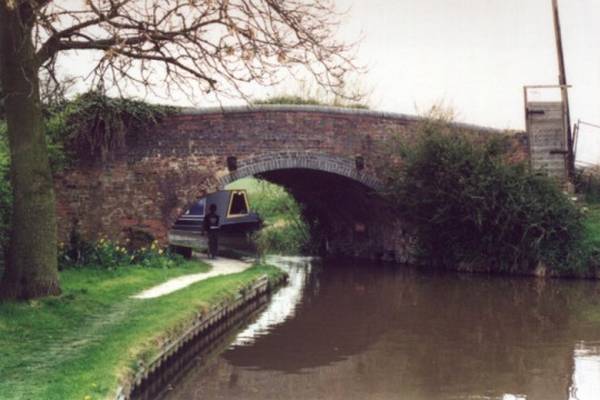
Bridge 1 - Watery Lane Bridge
Bridge 1 - Watery Lane Bridge
This original 1790's traditional canal brick overbridge carries the old Watery Lane (now a public Bridle Path) over the canal. This is the only bridge dating from the original construction of the W & E Canal in the late 1790's.
| Access: | Public footpath over |
| Alignment: | On canal line |
| Huddlesford: | 0.27 Miles (0.43 Kms.) |
| Catshill: | 8.40 Miles (13.00 Kms.) |
52.68063, -1.78147
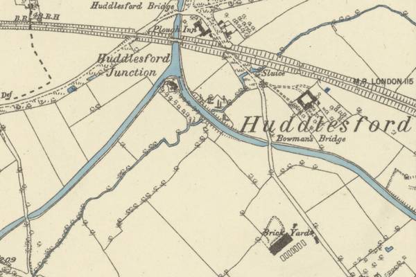
Site of Brickyard on O.S. map from 1883
Site of Brickyard thought to be the source of bricks for the nearby Whittington Barracks.
There were brickmakers in Whittington in 1840, but the industry did not take off until the 1870’s when William Thomas opened his brickyard at Huddlesford. Clay was dug out of the local pits that are still in evidence today and the coal would have been shipped in by the recently completed railway line to the Cannock Chase coalfield.
The bricks were needed to build the barracks at Whittington. William remained the master brick builder until 1880. He moved to Mill Street, Walsall, where he died on 9th November 1887. The business passed over to Harry Hodgkins and his family until its eventual closure in the 1890’s.
| Access: | Private property - no access |
| Alignment: | South of canal |
| Huddlesford: | 0.02 Miles (0.04 Kms.) |
| Catshill: | 8.60 Miles (14.00 Kms.) |
52.68047, -1.77406
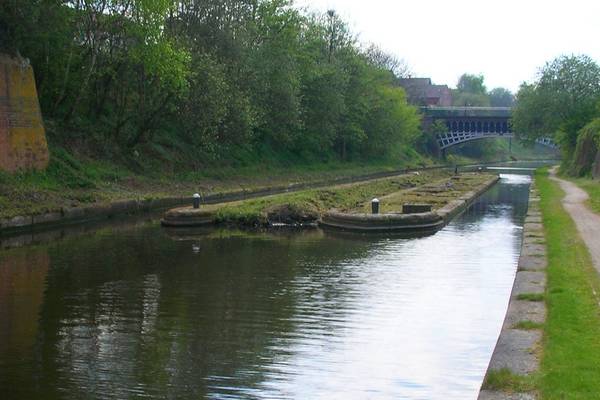
Derelict Canal Gauging Station at Engine Arm Smethwick on the BCN
Gauging Stations were used by the canal companies to accurately measure the depth the loaded narrowboats floated in the canal water to assess the load the boat was carrying.
This was used to fix the Toll to be paid for passing through this section of canal.
| Access: | |
| Alignment: | On canal line |
| Huddlesford: | 0.02 Miles (0.02 Kms.) |
| Catshill: | 8.60 Miles (14.00 Kms.) |
52.68309, -1.77744
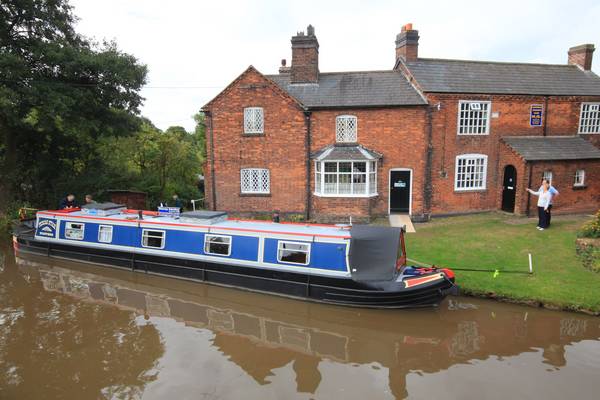
Canal cottages at Huddlesford.
Historic pair of cottages dating from the construction of the canal and formerly used by the Canal Toll Collectors.
Currently used by the Lichfield Cruising Club.
| Access: | Public towpath |
| Alignment: | On canal line |
| Huddlesford: | - |
| Catshill: | - |
52.68296, -1.77704
The Plough Inn
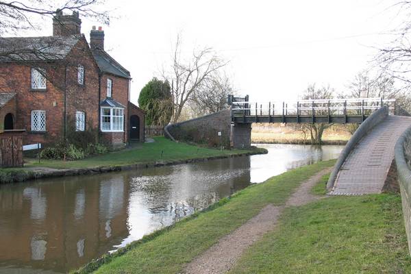
Huddlesford Junction
Junction on the Coventry Canal at the bottom end of the Lichfield Canal (formerly the Wyrley & Essington Canal).
The Wyley and Essington extension from Ogley Hay to Huddlesford was built and completed by the Wyrley and Essington Canal Company in 1797. Two cottages housing the Toll Collectors were built to ensure the companies got their payment.
The Coventry Canal was built by the Coventry Canal Company, formed in 1768 and started work on the Canal from Coventry to Atherstone before running out of money in 1769. It was extended down to Fazeley but the link to the Trent and Mersey Canal at Fradley was not completed until 1789 and was built by the Birmingham and Fazeley Canal Company.
| Access: | Public towpath |
| Alignment: | On canal line |
| Huddlesford: | - |
| Catshill: | - |
52.68339, -1.77706
The canalside Plough Inn for food and a drink is just a few metres north of Huddlesford Junction on the Coventry Canal.
