
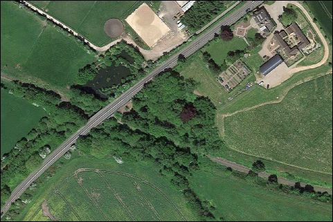
Aerial view from Google Earth
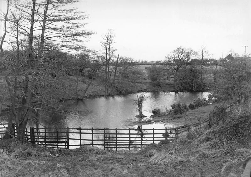
Old Canal Loop
Redundant Loop of Old canal cut off when railway was constructed and new bridges formed in 1846 ? This area is all in private ownership

O.S. Map from 1883. The Wharf is Pipehill Wharf. Click to view the 1883 OS map.
By courtesy of the National Library of Scotland.
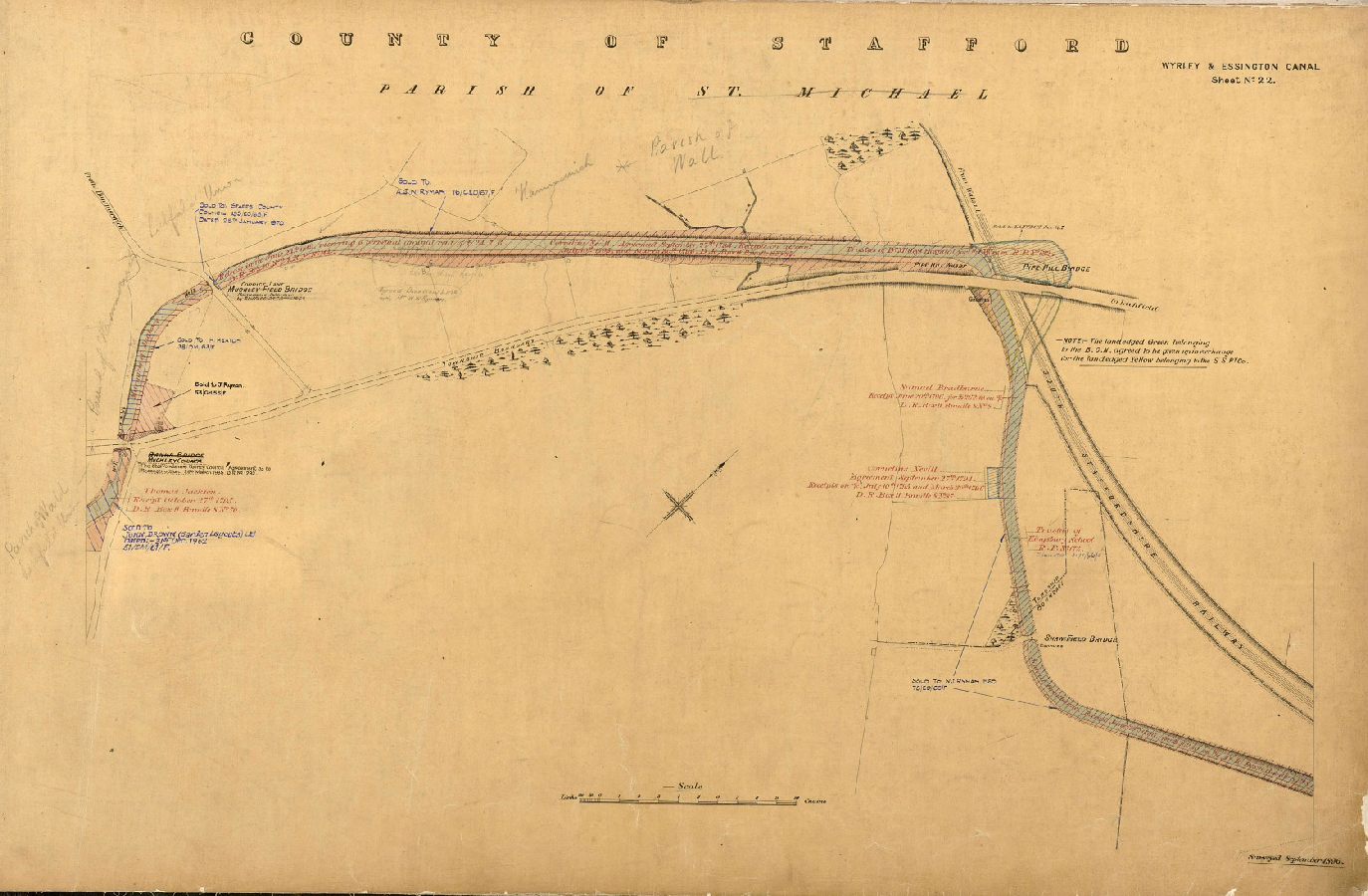
Plan surveyed 1896, supplied by Canal & River Trust. Click to enlarge.
The 1896 plan states "NOTE.- The land edged Green belonging to the B.C.N. agreed to be given up in exchange for the land edged Yellow belonging to the S.S.Ry.Co."
| Access: | Can be seen from trail but no access |
| Alignment: | North of canal |
| Huddlesford: | - |
| Catshill: | - |
52.66737, -1.86796
