
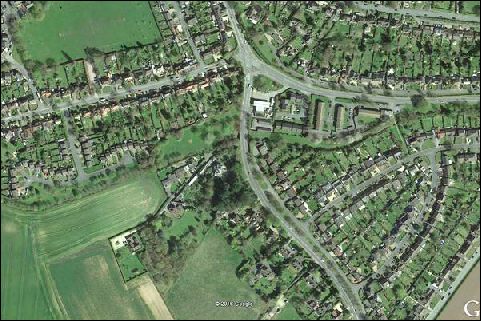
Google Earth view from 2016 of Lock 23 and Gallows Wharf area
Lock 23
This heritage lock is buried and it hoped that it can be restored and incorporated into the new route in this area.
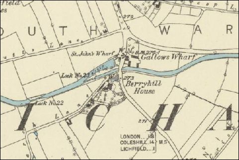
Photo: O.S.Map from 1883 Courtesy National Library of Scotland
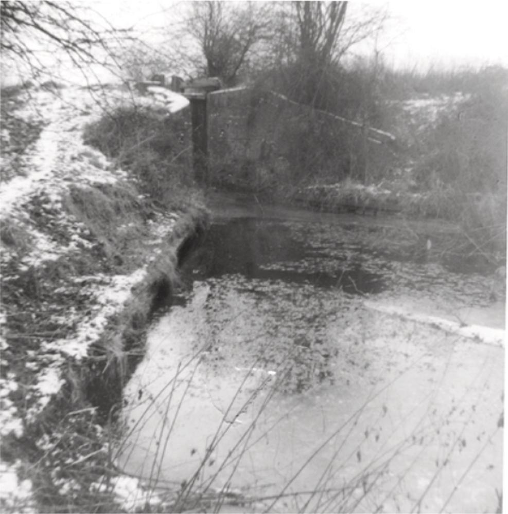
Photo: Lock 23 in its final days circa 1967
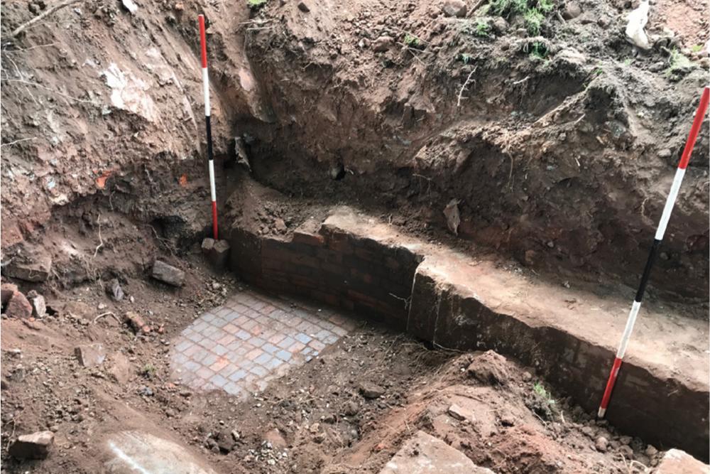
Photo: Original red/blue paving uncovered in 2017
In 2017 an brief excavation was carried out to explore Lock 23. In just one day, remnants of the 220 year old Lock emerged as the 50 year infill since abandonment was excavated, first at the head, then the tail positions. The old black & white picture above shows that the structure is extremely solid, although some of the upper walls had been reduced when a water drainage pipe was laid through the channel before final closure. The picture showing the blue/red paving is of the upper canal approach channel in front of the top lock gate. The curved recess for the top lock gate is visible in the lock side wall.
Read more here
| Access: | |
| Alignment: | On canal line |
| Huddlesford: | - |
| Catshill: | - |
52.67177, -1.82348
